Remote Sensing Image Processing
Services Offered
Acquisition & Pre-processing
Remote sensing data is obtained from diverse sources involving variations in equipment, data format, reference systems etc. Apart from the hassles of selecting proper sources and acquiring data, considerable effort is needed in pre-processing the received content. Quality of these initial steps greatly affects the final results derived from the remote sensing analysis.
We provide data acquisition and pre-processing services separately or along with other services to simplify the job of our customers thus allowing them to focus on their analytical requirements rather than on technical nuances. Our team team is well equipped and experienced in doing the job professionally due to our exposure to large volumes of satellite imagery and other remote sensing inputs as part of our other services.
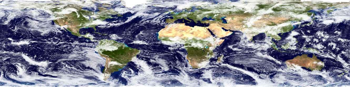
Multispectral Analysis
Satellite imagery is a source of extensive information available on a regular basis at the fingertips. However, as the name suggests, it is only an image unless properly processed and analysed. Multi-spectral and hyper-spectral imagery analysis needs a deep understanding of the underlying concepts and domain knowledge about the subjects of interest. With proper analysis of the data, valuable information can be obtained from satellite images in a timely manner which is otherwise impossible to derive from any other source.
We provide satellite image analysis services including multi-spectral image analysis and hyper-spectral image analysis to derive specific information desired by the client. Our deep understanding and skill sets combined with specialised algorithms and procedures developed over the years, we are well placed to serve your requiremts and prodeuce high quality results and insights.
Change Detection
One of the major application for remote sensing data analysis is the monitoring of target area/subject at regular intervals over an extended time frame. The intention is to detect any changes in the parameters being observed over time also known as change detection. The process involves analysing large volumes of data repeatedly over time and comparing the results of each time period, which can get very tiring and complicated if not handled systematically.
We provide chronological analysis and change detection services covering a large set of application domains. With our expertise in process automation, artificial intelligence, customised scrpting etc. combined with proper understanding of both remotesensing as well as application domains, we are capable of delivering high quality analytic reports consistently and in a timely manner.
AI Based Analysis
Due to the complex nature of data and the huge volume of continuously flowing data, remote sensing data analysis is a herculean task. To simplify the process and avoid human errors in the process, organisations have been using artificial intelligence based tools and techniques. These specialised algorithms continuously learn and improve themselves while performing repetitive analysis of similar data over time. They are also well suited to detect patterns and trends in the data better than humans in some cases. Use of these tools enables us to achieve results which were otherwise impossible.
We provide AI based analysis and automation services for satellite image processing focussed on image classification, feature extraction, pattern recognition, chronological analysis, change detection etc. The algorithms and processes are custom designed to suit specific needs of the users.
Mosaics & Web Services
Satellite images are available overlapping tiles known as scenes. Multiple scenes are needed to represent the area of interest if it is large. For visualisation and representation these scenes are combined to generate image mosaics. The process is resource intensive and the file sizes are generally very large. These large images/mosaics are broken into smaller tiles and published as web map service(WMS) over the internet for visualisation by remote users.
We provide image mosaicing and WMS commissioning services. With availability of high performance computer systems, the mosaicing operations are handled smoothly. Our web based platforms provide the basic infrastructure for generating and hosting web map services(WMS) effortlessly.
Please feel free to contact us for further details. We are looking forward to your queries, suggestions, feedback and support on various products and services.